A field season in the McMurdo Dry Valleys of Antarctica
|
The weather cleared up the day after doing field work at Green Creek, so we were able to fly to Miers Valley, Garwood Valley, and back to Lake Bonney. 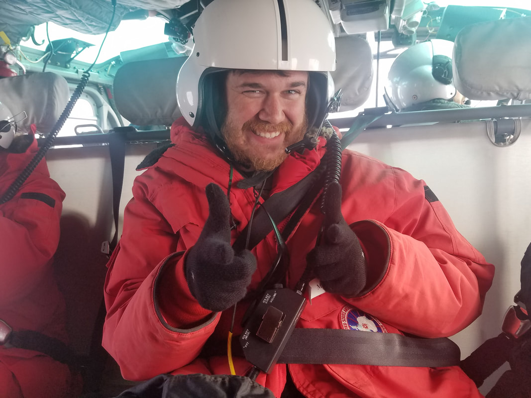 finger guns have been a thing lately Miers Valley 1/26 The experiment here is the elevation transect, where there are 3 plots set up at different elevations, marked by PVC and stakes. Each year soil samples are taken. 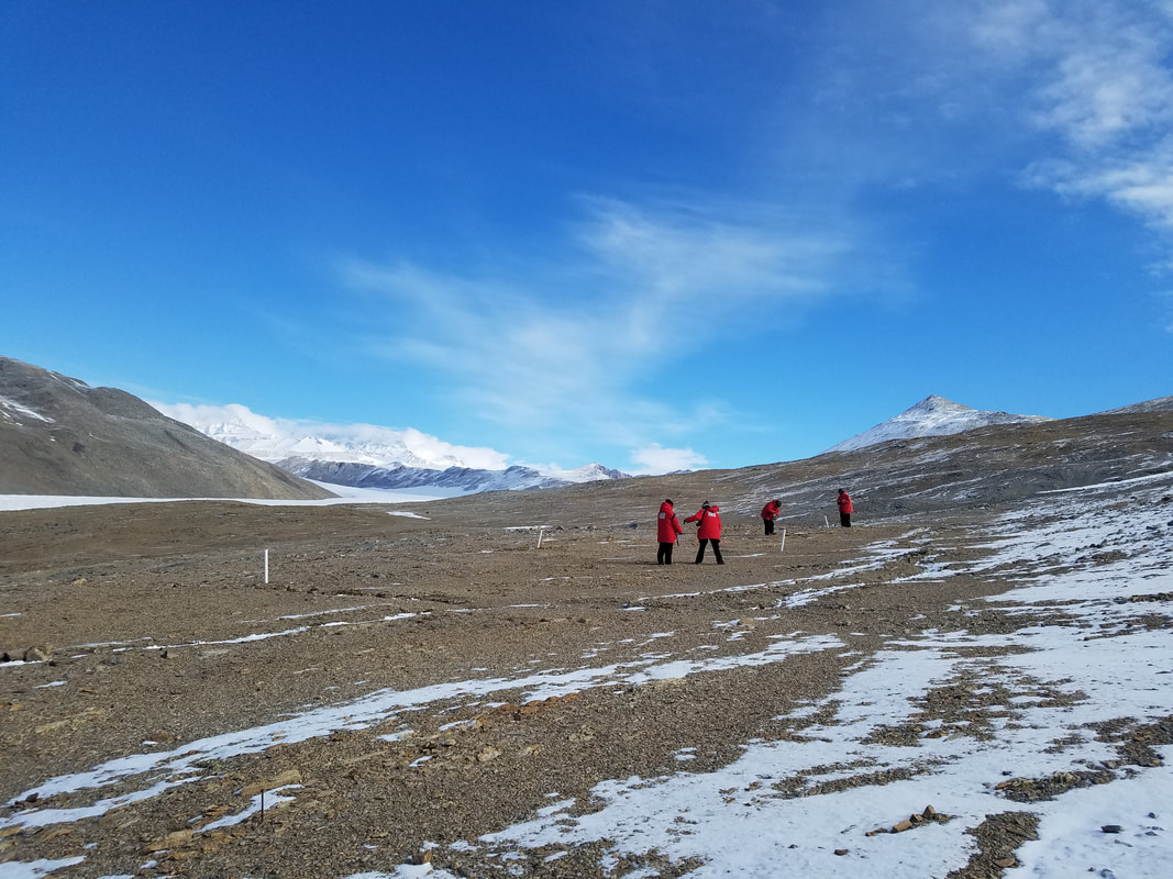  Miers and Adams Glacier 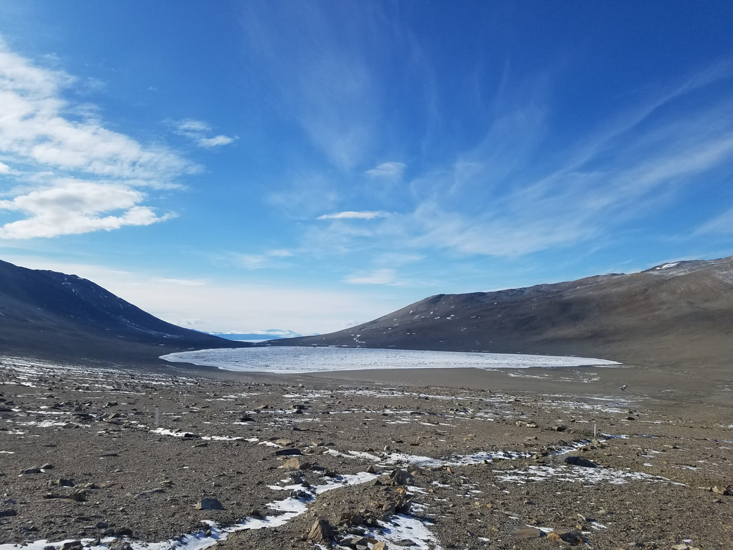 Lake Miers Lake Miers is the only flow through lake in the Dry Valleys. All of the other lakes are closed basin, meaning flow goes in but not back out. Garwood Valley 1/26 The view from Garwood Valley is absolutely gorgeous. We also sampled the elevation transects here, and we had almost 2 hours to spare before the helicopter arrived to pick us back up. I was feeling real crappy, since my cold was just starting to hit, so I basically just laid around with hand warmers until the helo came. 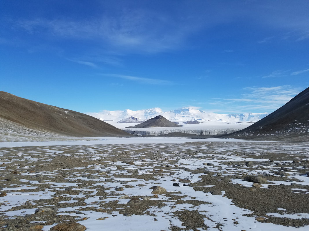 Garwood Glacier and Lake Colleen (look Colleen, there's a lake named after you!) 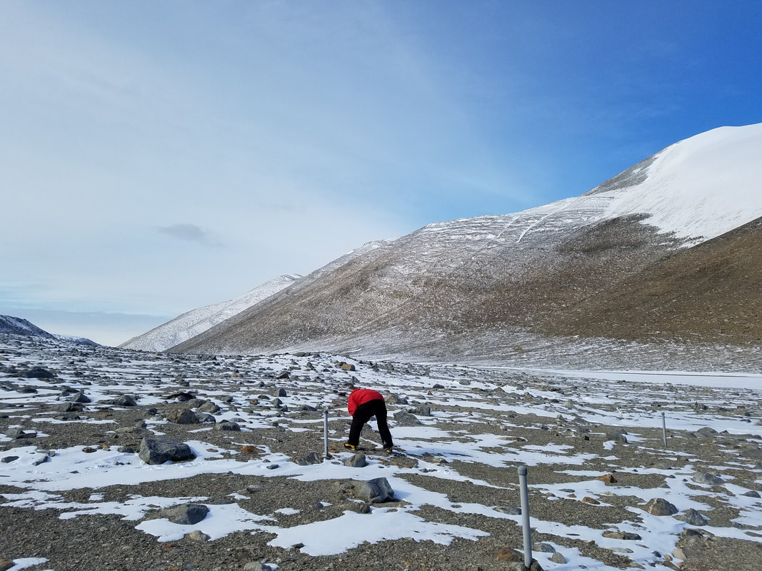 Lake Bonney 1/27 Our first trip to Lake Bonney was to the West Lobe of the lake. This time we were sampling on the East Lobe. Summer, Tasha, and I sampled on the South end of the lake, while Matt, David, Byron, and Marci hiked over the lake ice to the North end to sample. The experiment here is called SLIME (soil-lake inundation moat experiment), and there are several locations around Taylor Valley where it's set up. Lake levels are rising, so the LTER is studying how soils will respond to this inundation of water. You can hear the lake ice toward the edge crack and move and it sounds craaaazy. Meanwhile, they're on the center of the lake hiking, and I radio Matt "uhhh there's some weird cracking sounds coming from the ice over here, just letting you know". Byron says "it's probably okay, the ice is really thick". Matt says "that's great... tell my mom I love her". 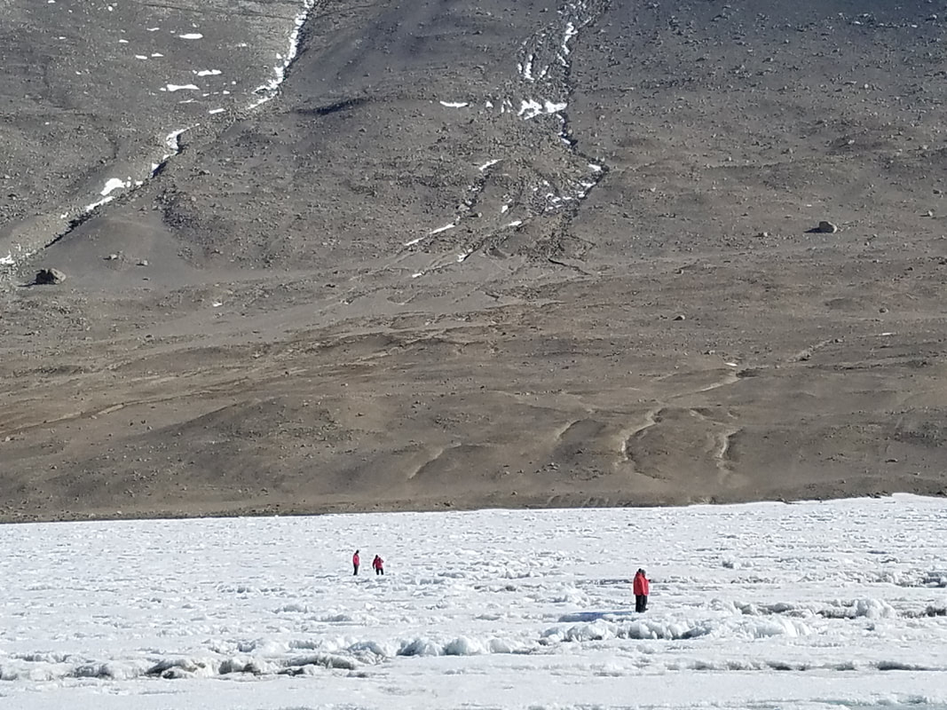 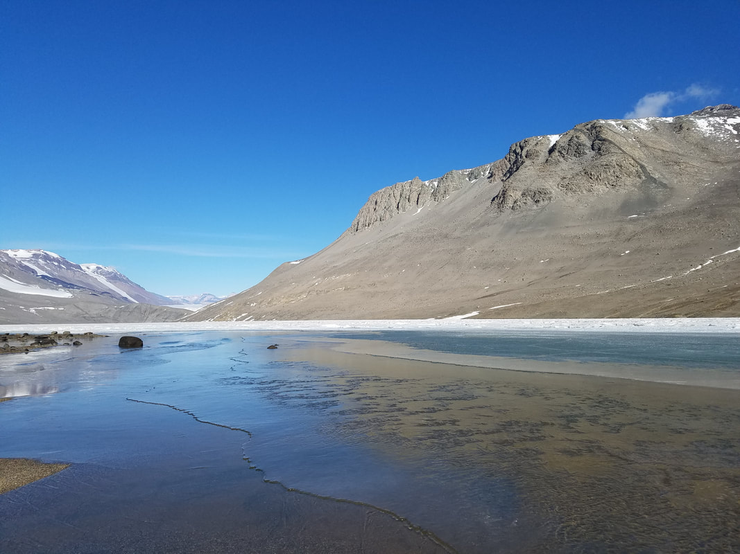 ice looked like waves! 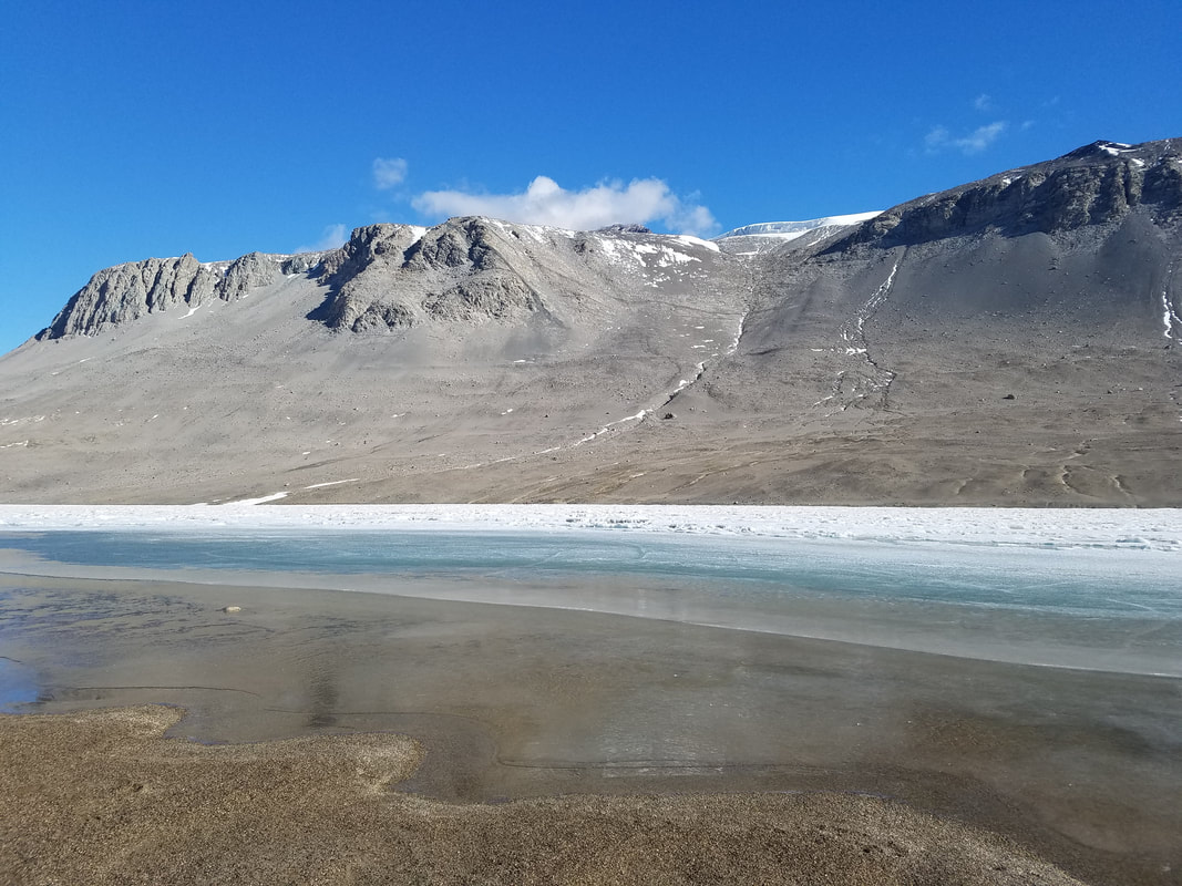 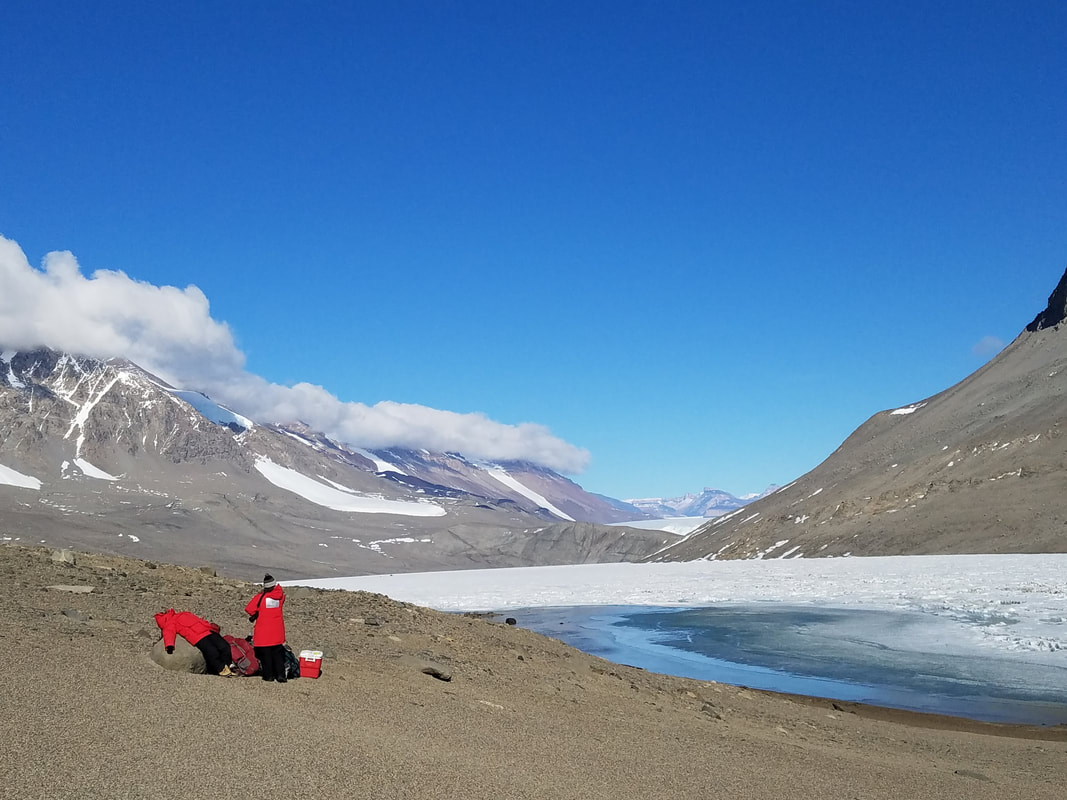 Summer looking super comfortable 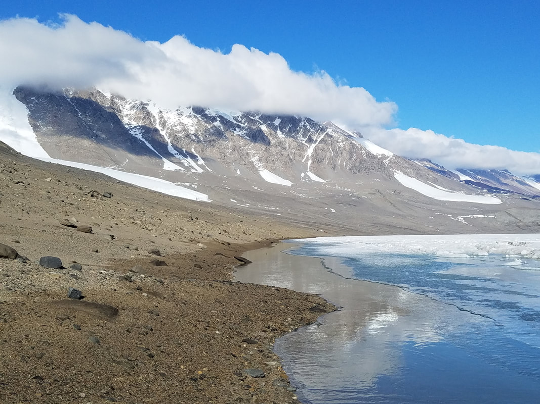  So many people are sick in McMurdo right now. I'm living off mucinex right now.
0 Comments
This day (1/25) was one of the harshest weather days but overall was one of my favorite days out here so far. We had planned to go to Miers Valley and Garwood Valley to do some elevation transects sampling (like we did at Lake Hoare), but all helicopter flights were cancelled due to bad weather. Instead, we drove the ATV over frozen Lake Fryxell to get to the other side where I could sample some algal mats at Green Creek. To get across the lake moat, we used a boat and pulled each other across with a rope to get to the lake ice where the ATV is. 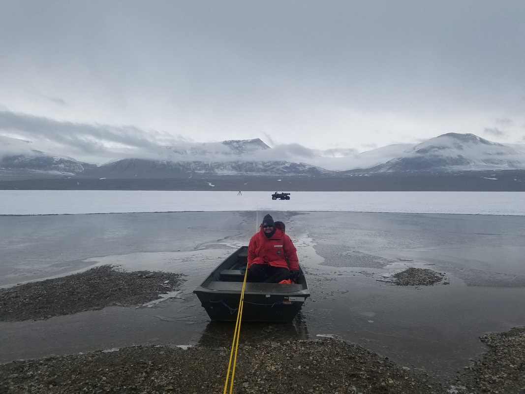 Matt not falling in the moat. Last year he and Jeb were in the boat together and a series of unfortunate events caused Jeb to fall out. Now Matt rides alone. 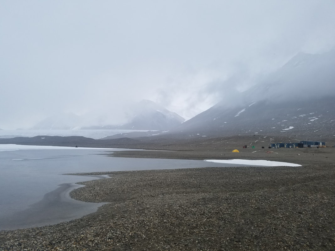 Fryxell Camp 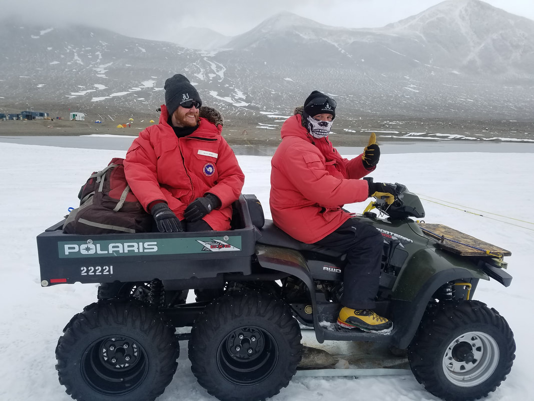 Byron looking legit and Matt admiring. I rode behind Byron. Matt's seat wasn't as comfortable. 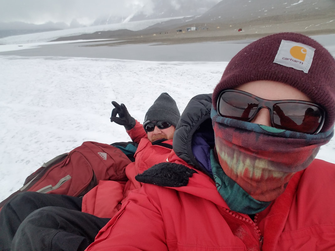 on the ATV 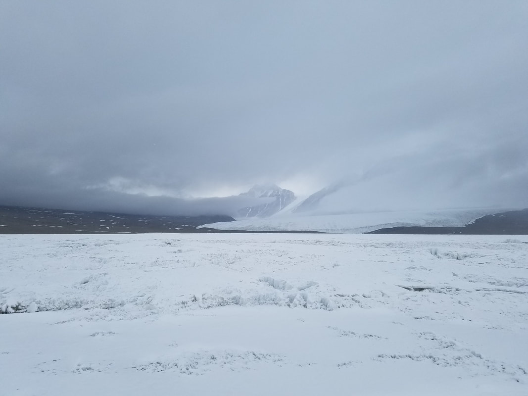 The lake ice toward the edge of the lake is pretty flat, so that's where we drove the ATV. Green Creek is pretty much directly across the lake from Fryxell Camp, so we had to drive all the way around the lake to get across. Once we passed F6 (another camp), the ice got real sketchy and bumpy. In some areas, there's a top layer of ice and below that a few feet of standing water and then several feet of ice below. The ATV hit these areas a few times, and we could see the ice crack and water behind us. The ice was pretty steep too... it was an adventure! 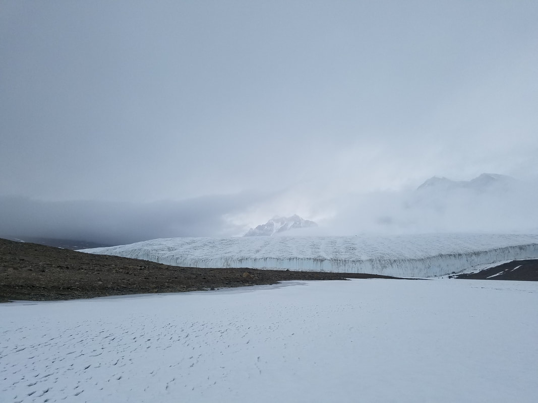 Byron dropped Matt and I off at Green Creek, and Summer joined us a little later. The bad weather held off for the majority of the time that we sampled the mats, but toward the end it started snowing and didn't stop for hours. 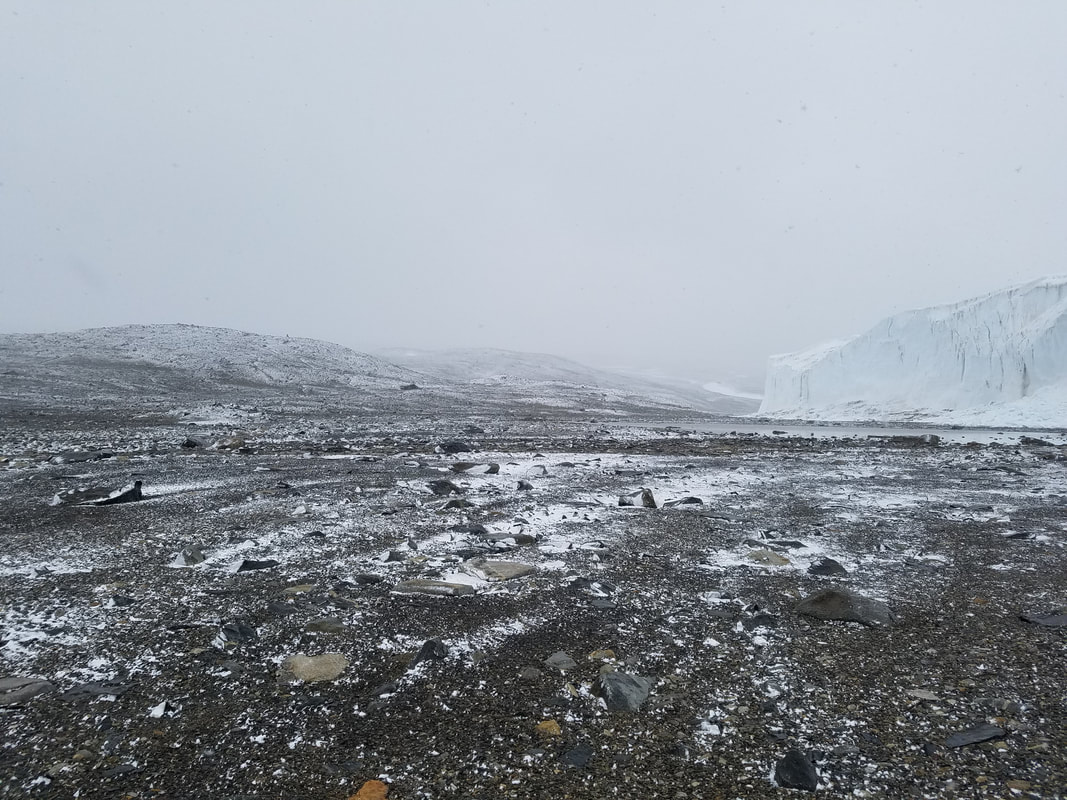 channel margins where we sampled some black mats 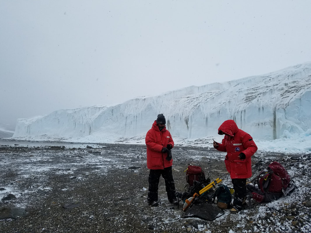 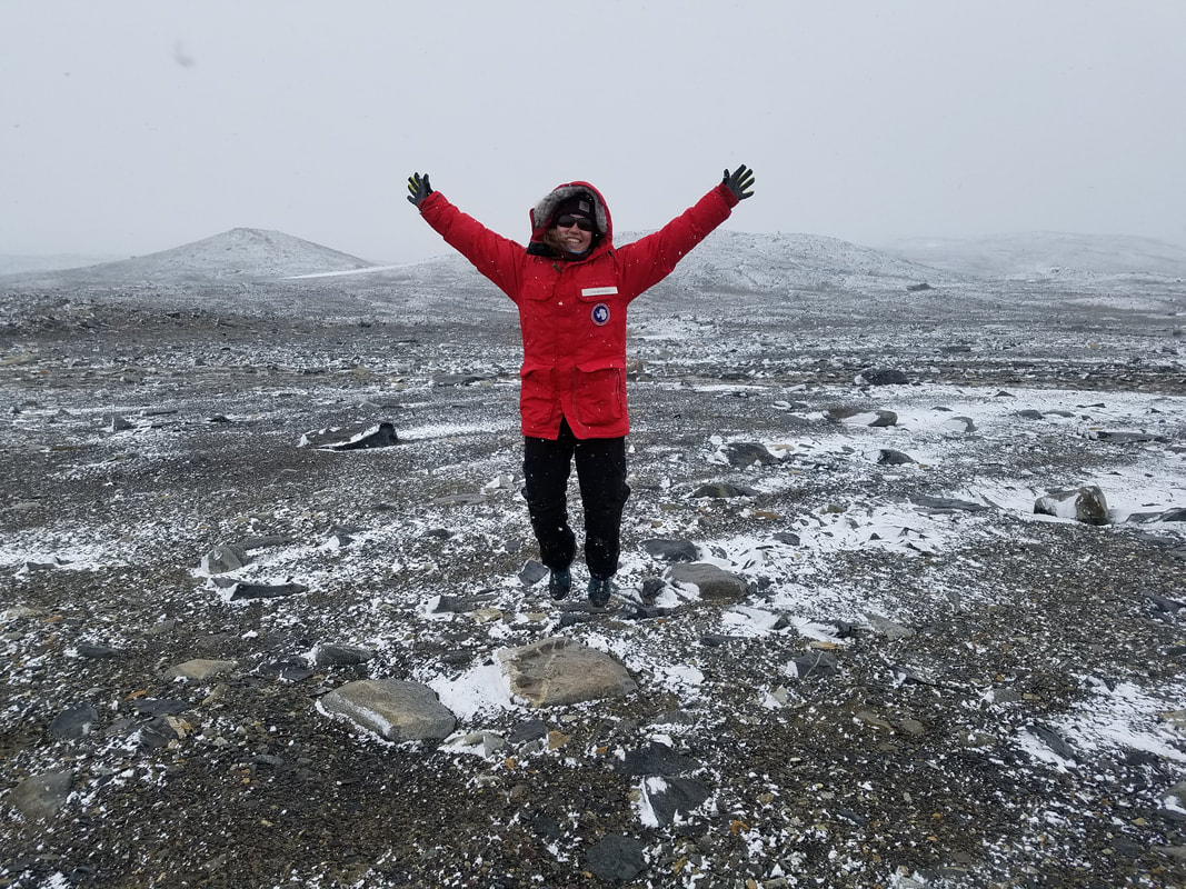 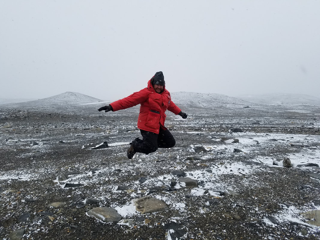 After sampling, we had some free time waiting for Byron to come back on the ATV, so we walked over to Canada Glacier and took some silly photos. 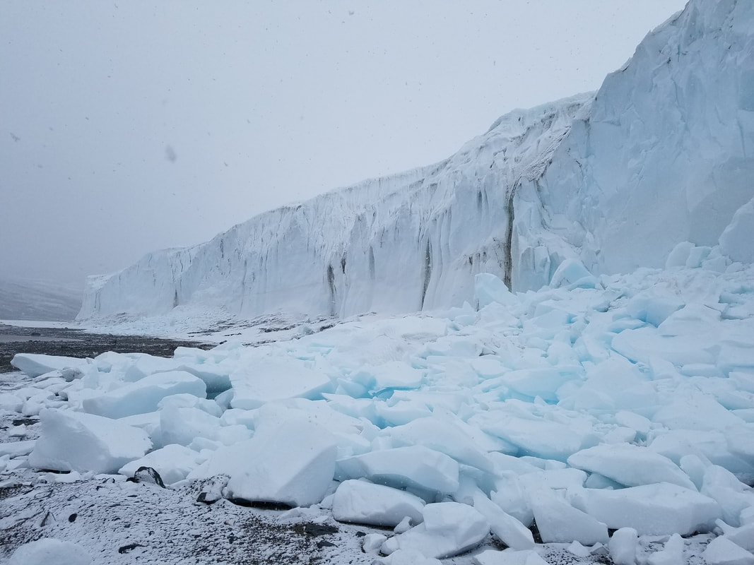 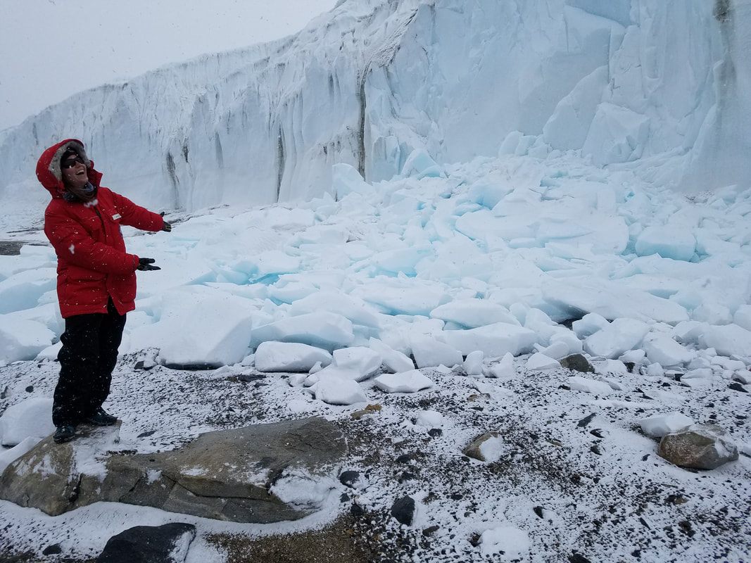 look, a glacier 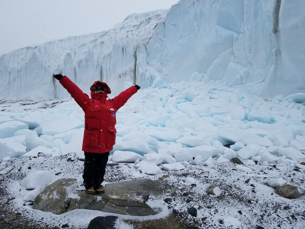 Summer's ta-da 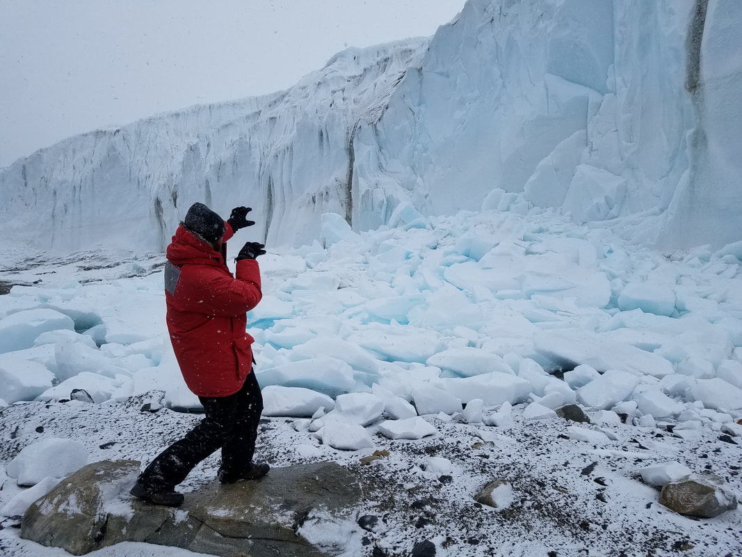 Matt doing something, jk he calved the glacier with his mind 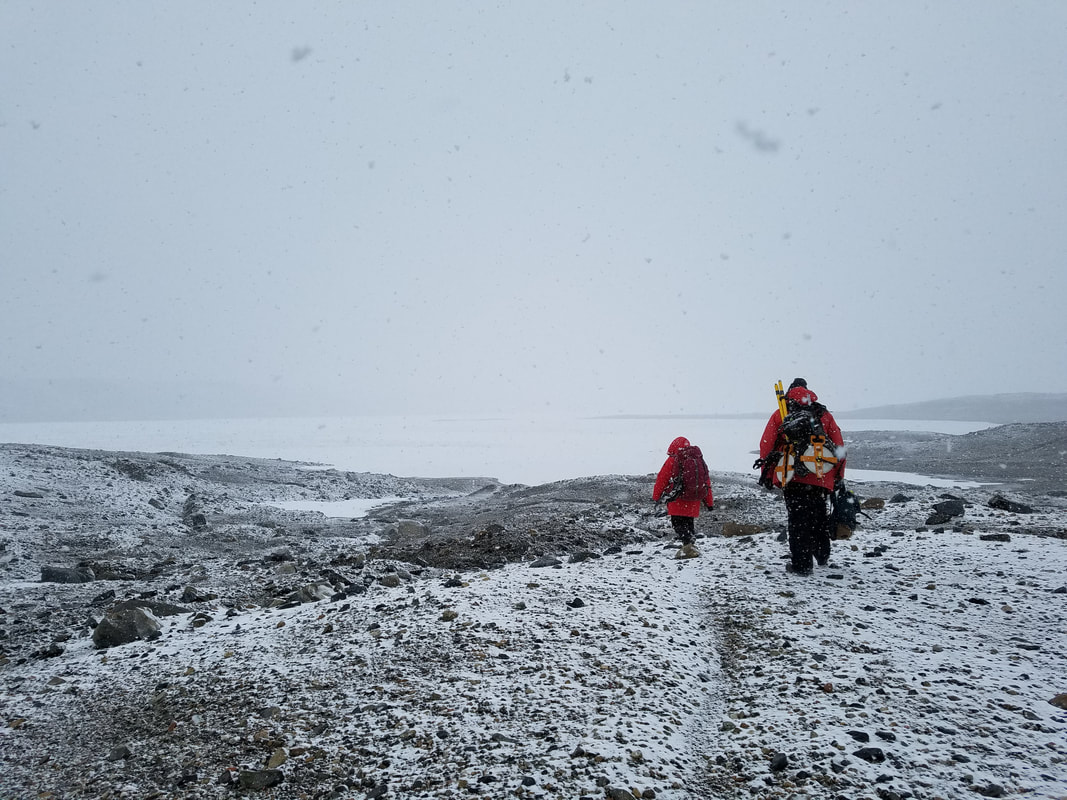  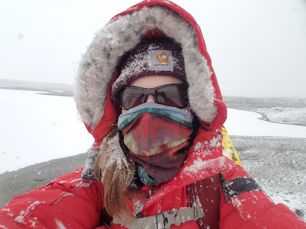 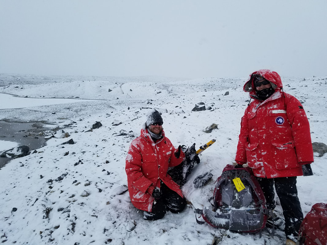 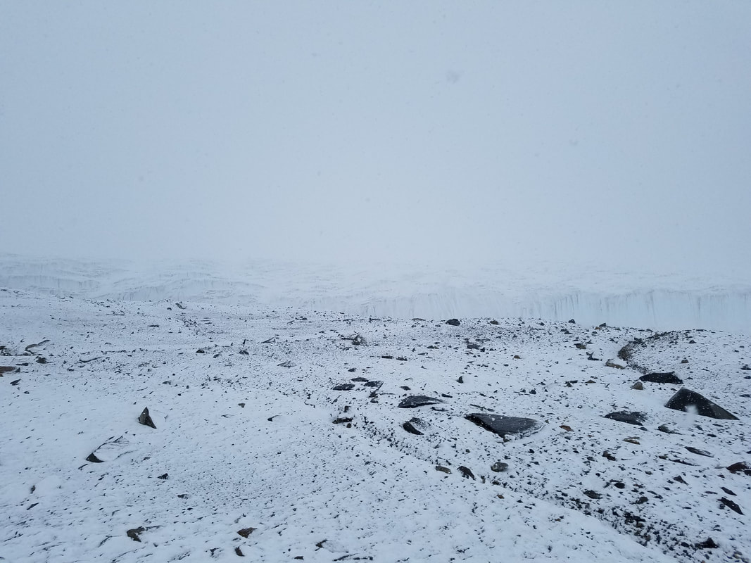 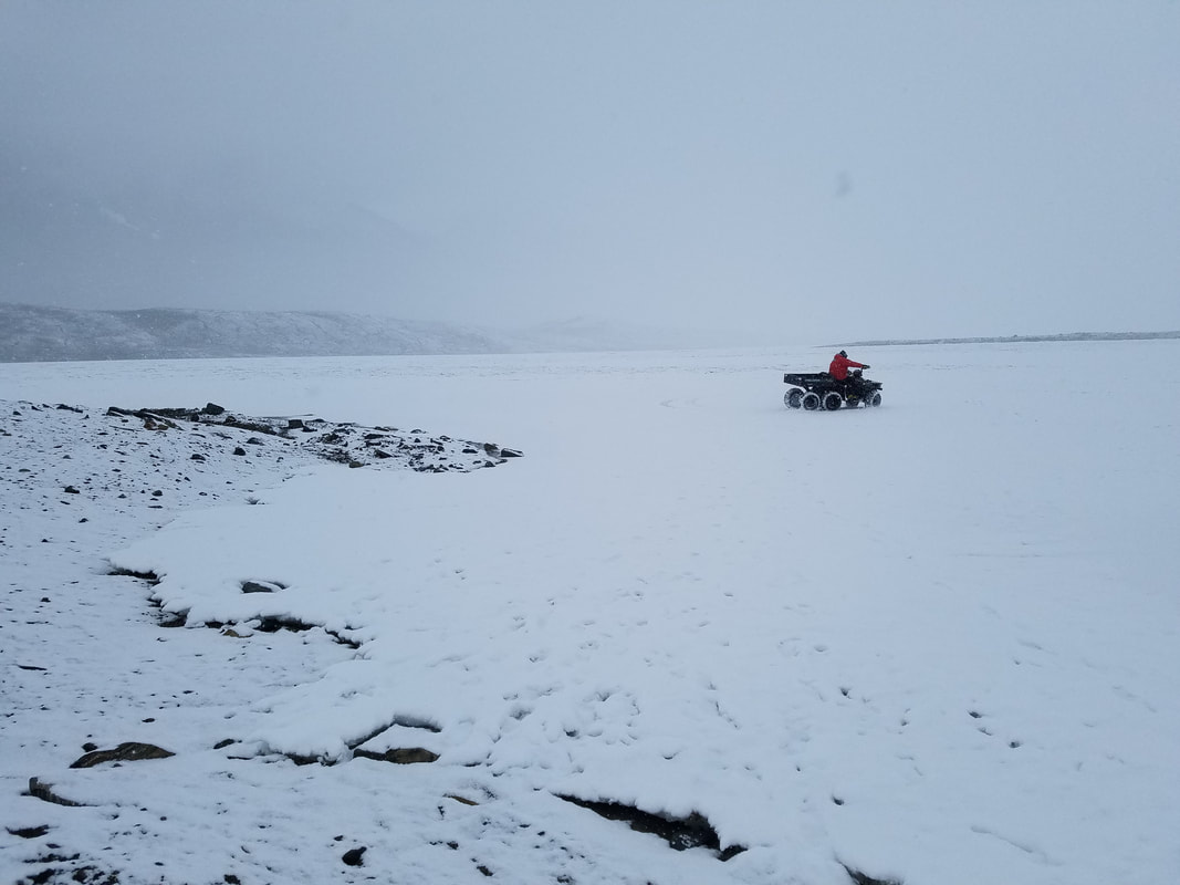 Byron bout to do a donut  what the ride back looked like I drove the ATV part of the way back, and it was awesome! Matt drove as well. Byron has a photo of us that I'll have to get from him. In the meantime, here's a photo and nerdy video of Matt. 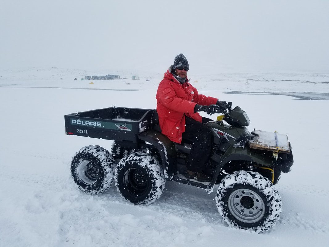 Get in loser, we're going shopping. Matt is the only guy I know who quotes Mean Girls, and I love it. That evening, I started getting an awful sore throat... since then both Matt and I have been sick. Everyone calls it the McMurdo Crud. We're starting to feel better though. We've been doing a lot of lab work, and today we had a quick day trip to the Valleys. I'm a couple posts behind... we only have 1 week left, so it's been hectic! ~
Yesterday Matt, Summer, Tasha, David, Byron, Marci, and I flew back out the Dry Valleys for more field work. We're working on a few different projects, and I'm sampling mats at some new spots. The weather has been bad, so our flight was delayed until the evening. We saw more orcas on the way! They were swimming in the channel that the coast guard ice breaker ship created for the cargo vessel. When we arrived, Matt and I realized our sleep kits had been left outside, and they were covered in snow and soaked. Sooo... we got to break into the survival cache for dry gear. It felt pretty silly. 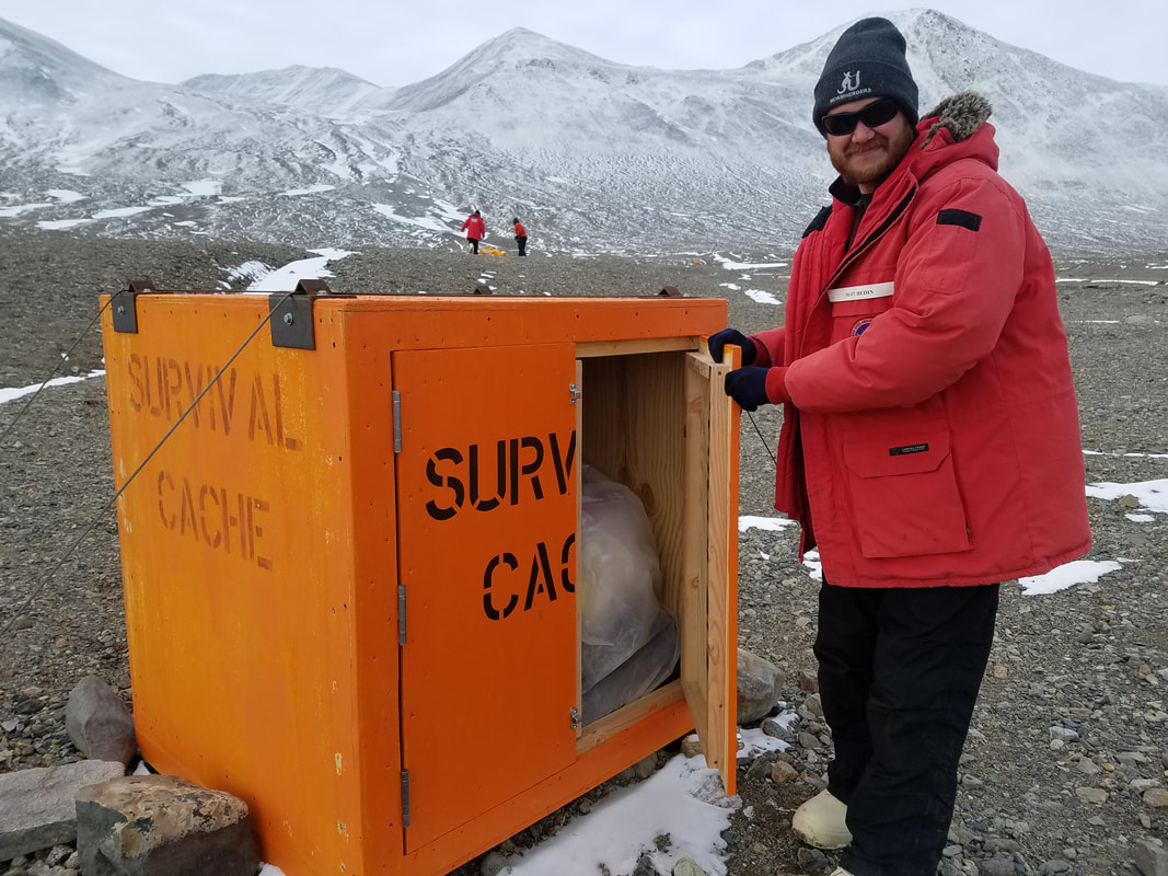 During the first part of the day, we flew in the Astar helicopter (the best one with the best view) to Lake Hoare to sample some elevation transects. There are 3 plots at different elevations. Samples get processed for nematodes and various chemistry. 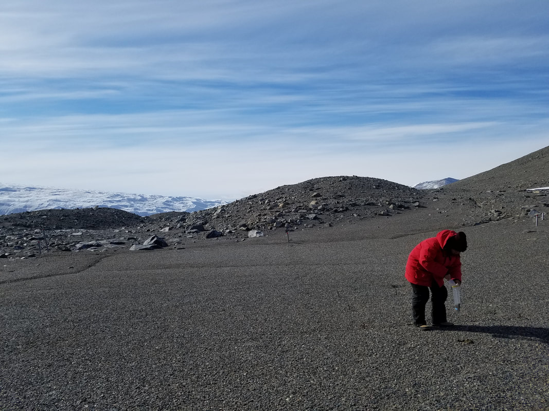 Summer sampling soil uphill from Lake Hoare 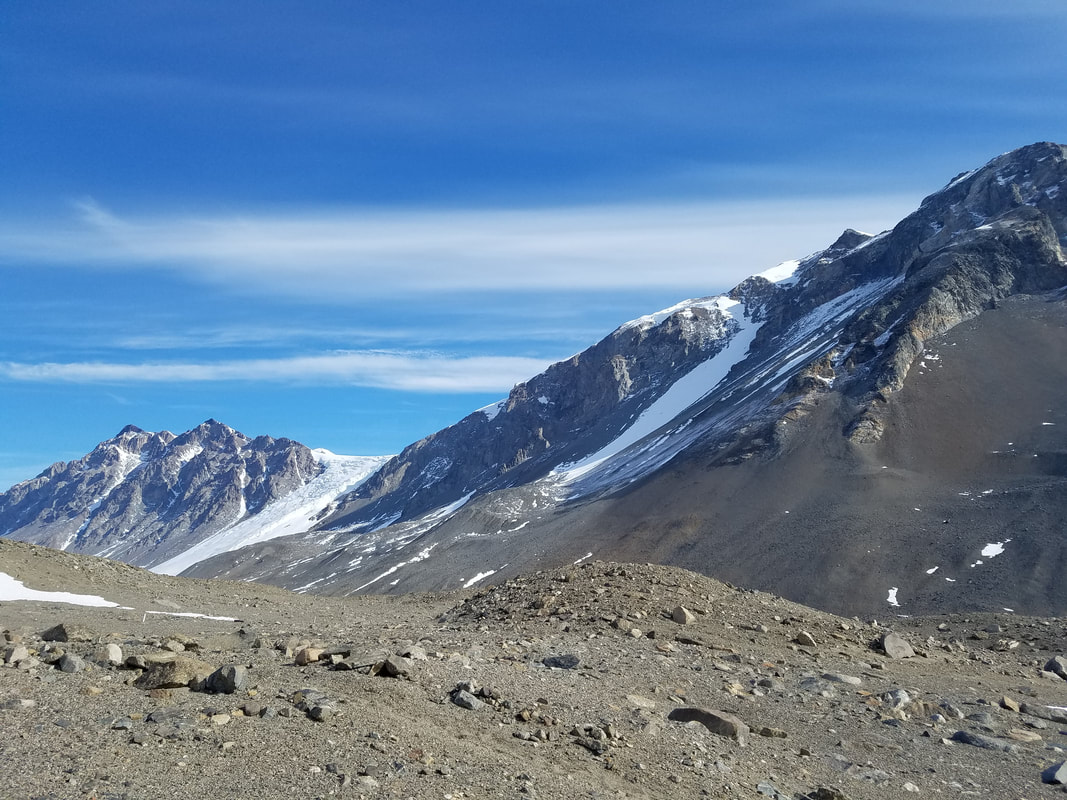 We flew in the Astar again to get to the Lake Bonney area. There's a western and eastern lobe of the lake, it's a pretty big area. 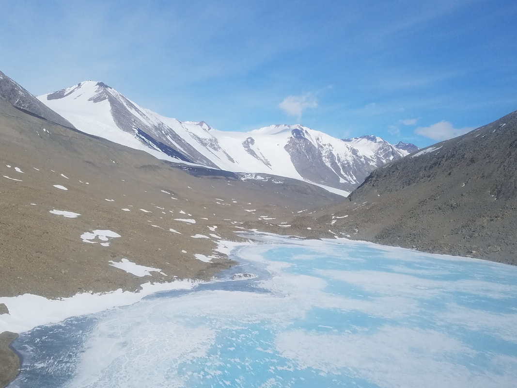 Flying over Mummy Pond (I think), so bluuuuue 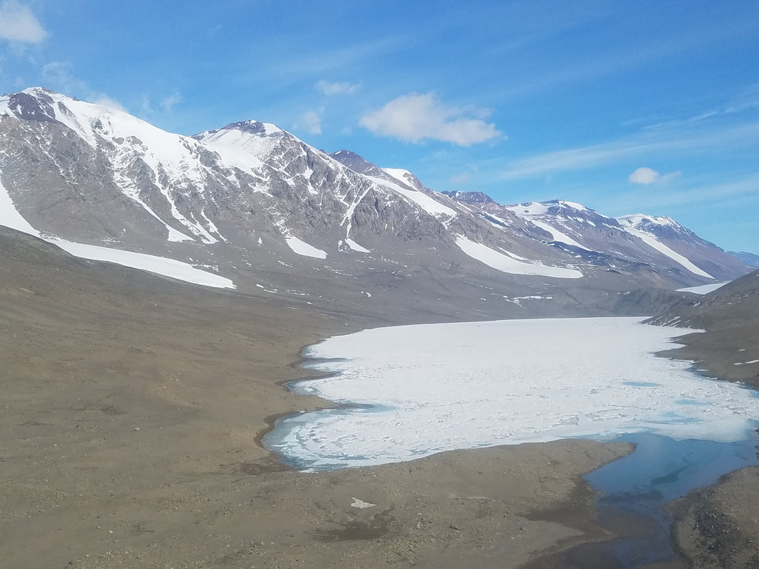 East Lobe Lake Bonney We saw Blood Falls which was awwwwesome! This is a real popular place for people to take photos. There are bacteria trapped underneath the glacier, and instead of using light for energy like plants that photosynthesize, they are chemoautotophic and extract iron from the rocks below. Iron oxides build up and flow out of the glacier with glacial melt water. Iron when exposed to oxygen creates the red color, like bl00d. 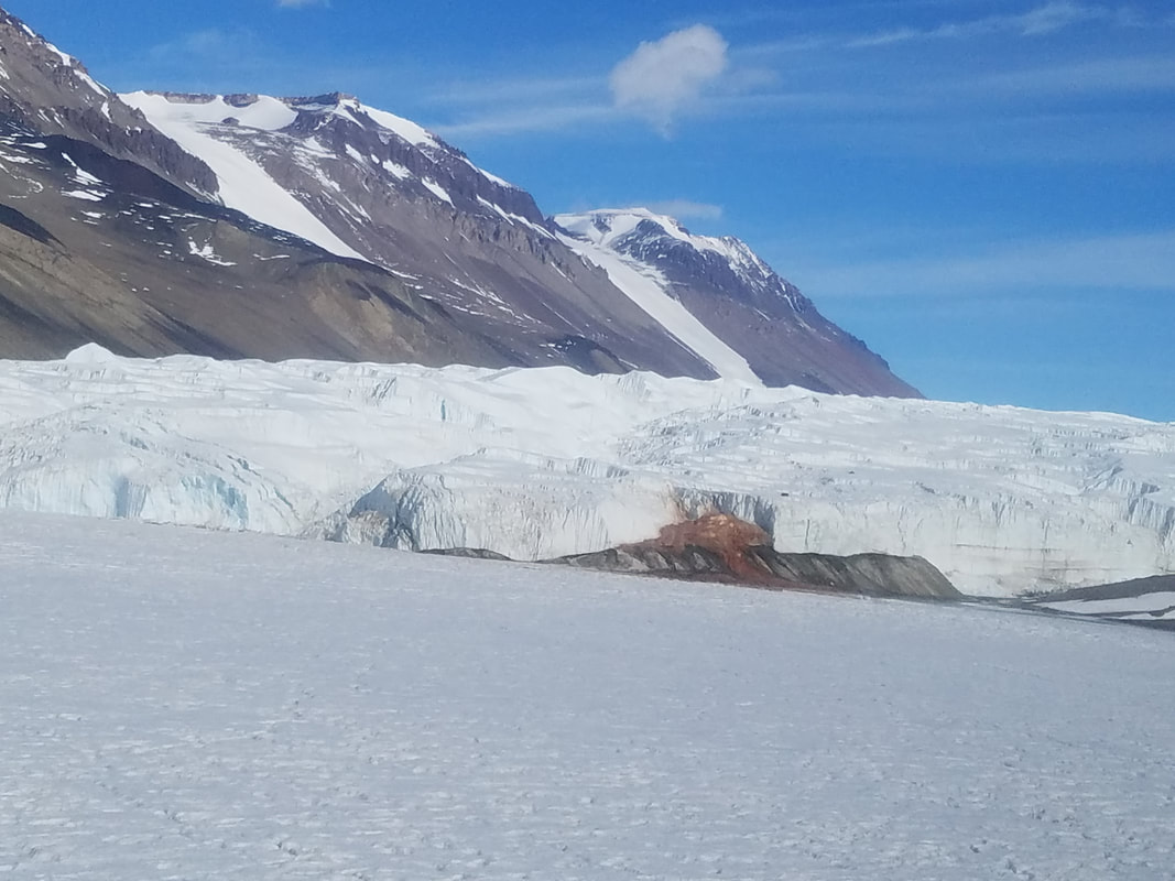 Blood Falls on Taylor Glacier Wormherder Creek is uphill from Lake Bonney, and there was a lot of flow this day. It's uncommon for it to be flowing this much apparently. I was able to sample some mats alongside it. 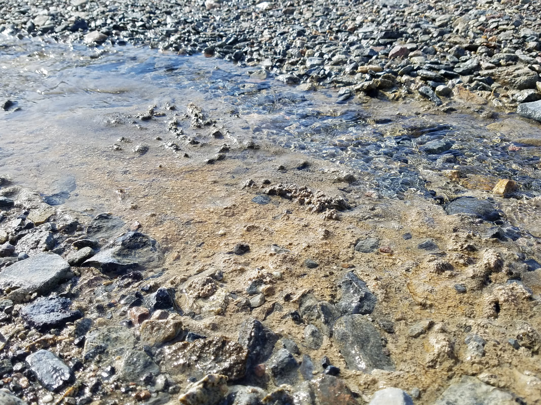 Orange algal mat, phormidium, in Wormherder Creek 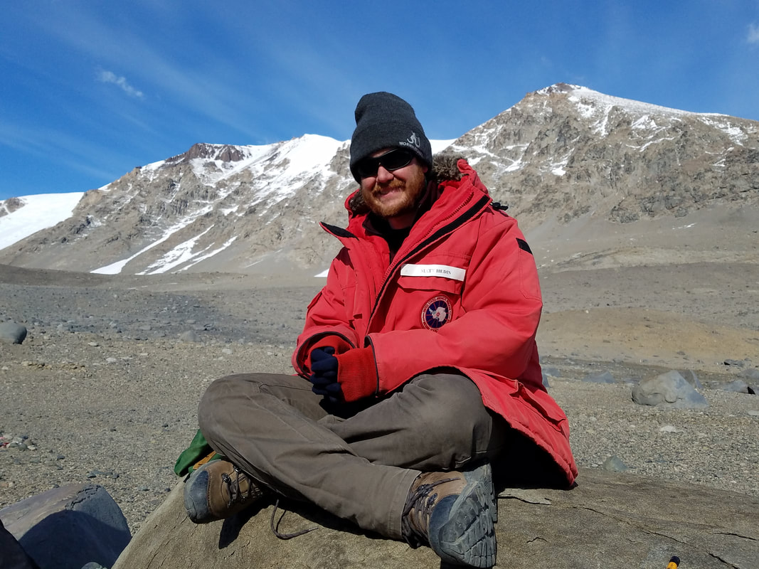 Matt cheesin & chillin We finished field work in the afternoon, and we decided to hike up onto Canada Glacier after getting back to Fryxell Camp. This is the same hike I did for several days with Jeb to sample algal mats around Canada Stream. We never hiked up onto the glacier though, so I was pretty stoked that we had a chance to last night. 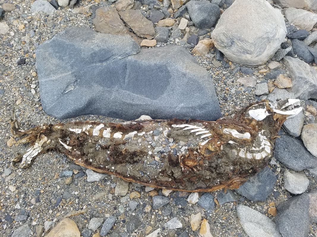 another dead seal, sorry 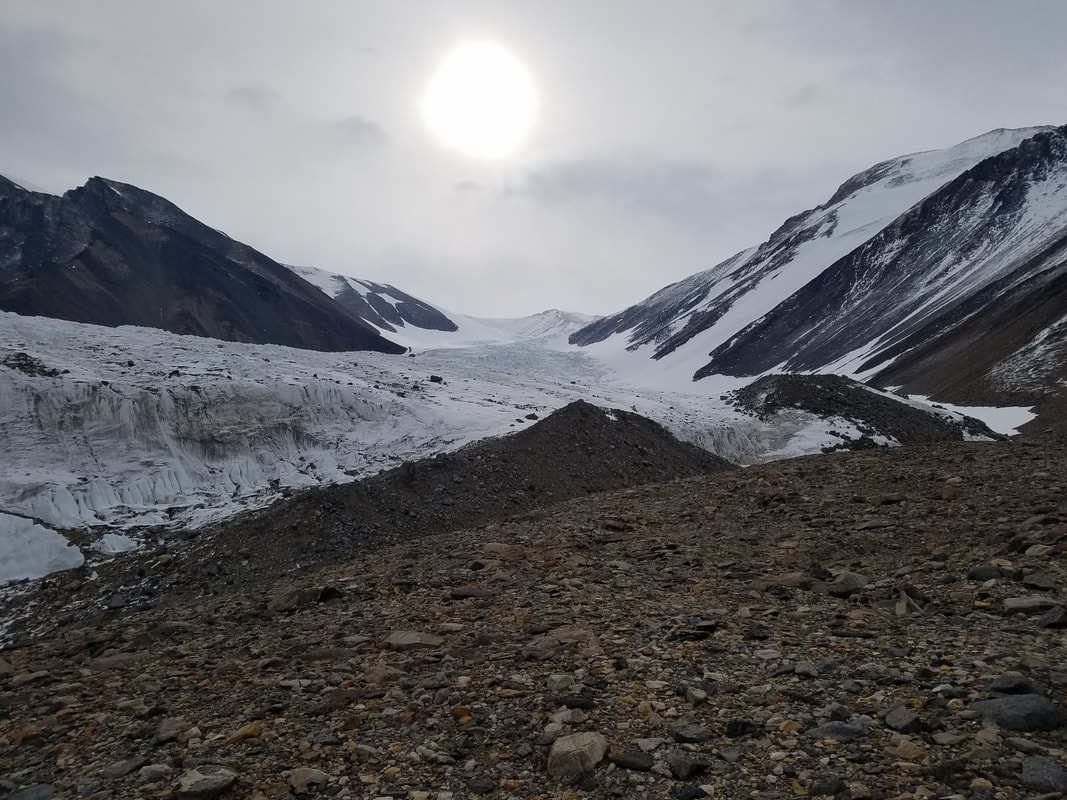 hiking up to the glacier 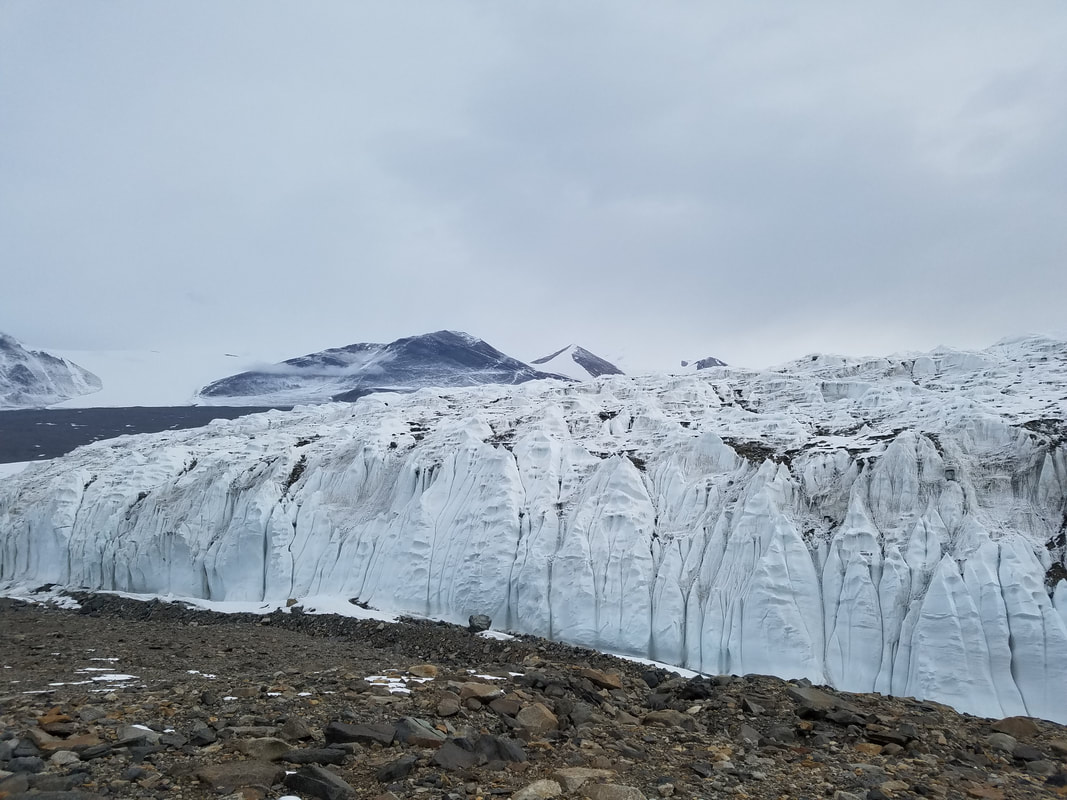 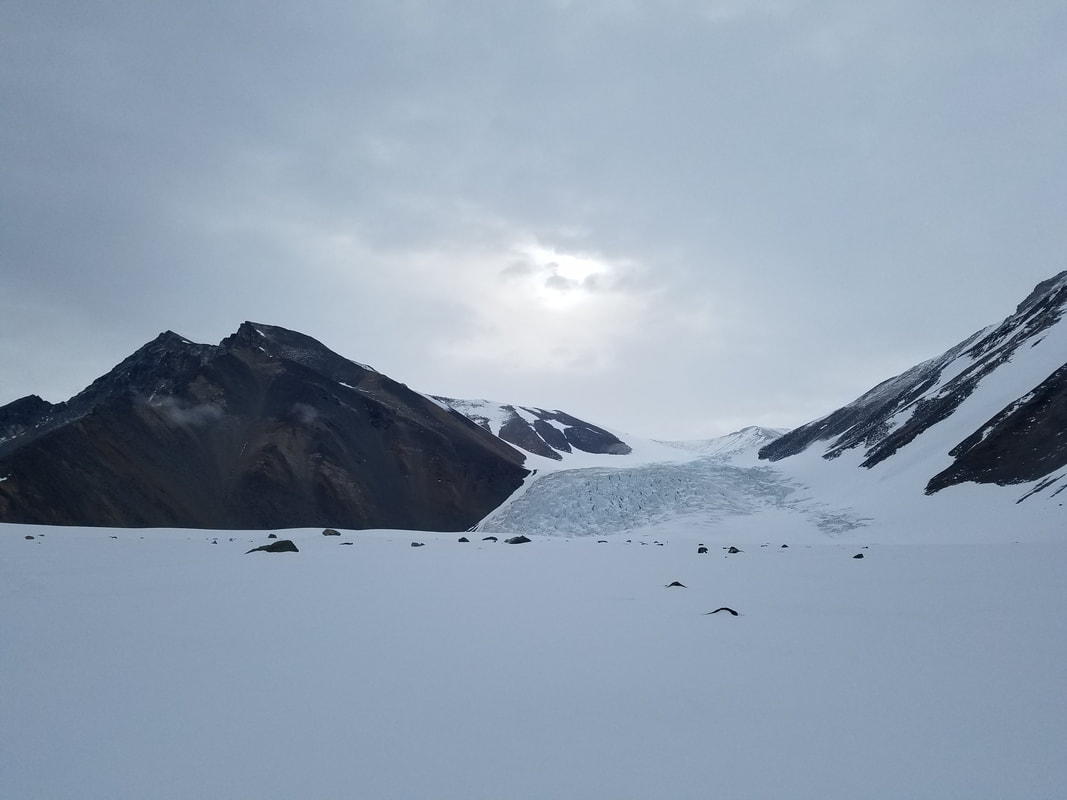 view from the top 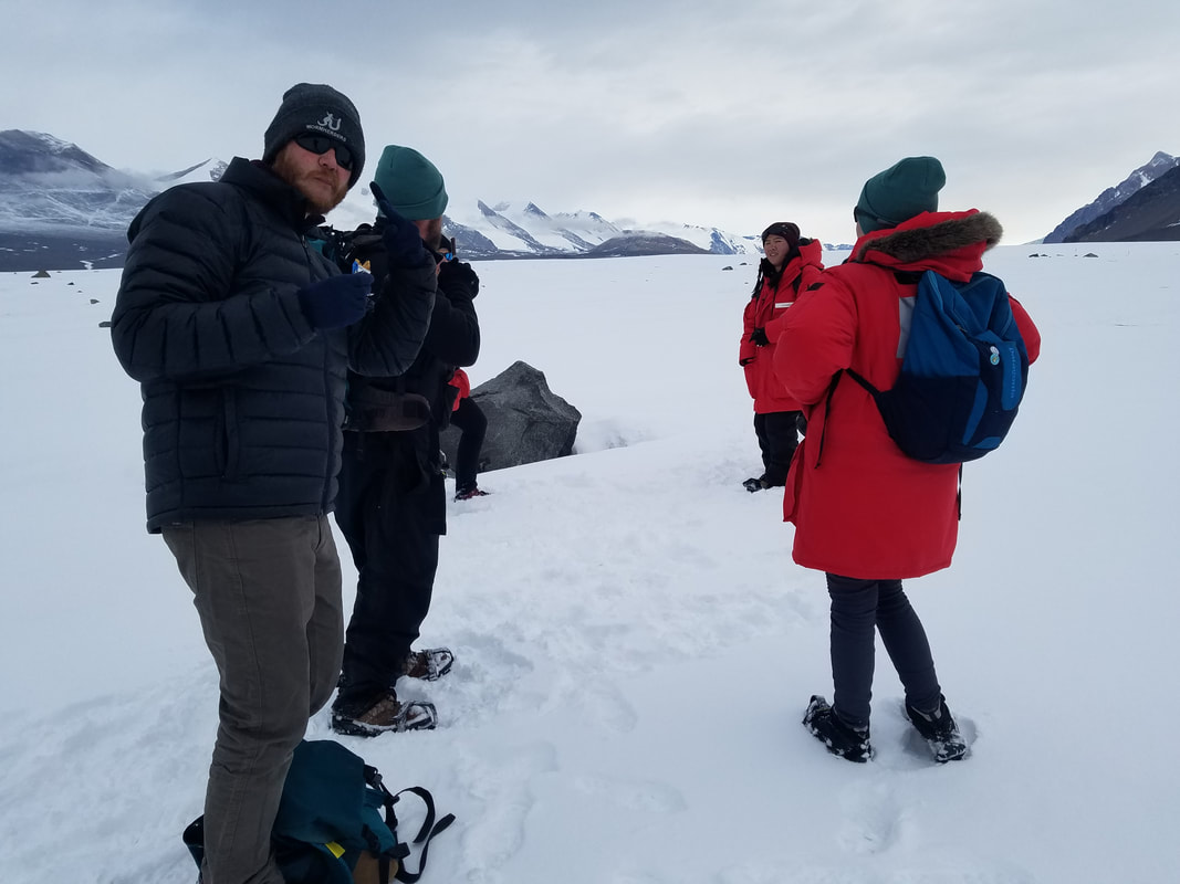 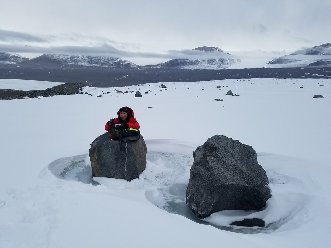 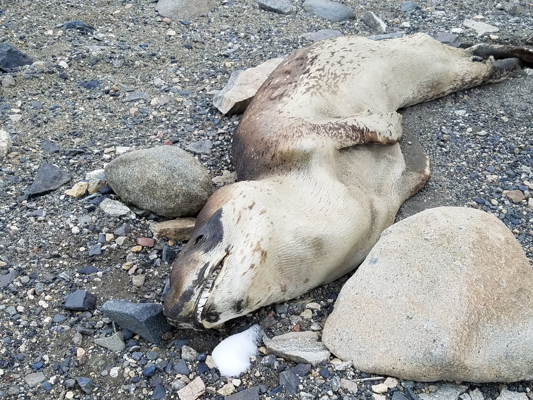 sorry, another one, but look at those teeth!!! |
AuthorSarah Power 
Categories
Archives
|
 RSS Feed
